
Since ancient times, mankind has turned to the skies to find their destination. Sailors and pirates used to refer to constellations in the night sky to figure out their location and where they were going.
Today, thanks to superior technological development, you only need a hand-held Global Positioning System (GPS) to determine your exact location. Ironically, this navigation also needs objects high in the sky to work appropriately. However, instead of stars, GPS requires satellites in the sky.
GPS has been an essential part of our lives for approximately 60 years. It’s present in your cars, mobile phones, and computers. Hence, it’s not as surprising to learn that an aircraft uses it to find its location in the sky.
All aviators around the globe use GPS to enhance the efficiency and safety of their flights. Due to its precise, consistent, and international capabilities, GPS provides uninterrupted satellite navigation services, fulfilling the many needs of aviation users.
The space-based positioning and navigation offered by aviation GPS enable multi-dimensional position determination for all phases of a flight, namely departure, enroute, landing, and arrival.
In this guide, you’ll learn about aviation GPS, including relevant terminologies, how aviation GPS works, problems related to GPS, possible solutions, and the future of GPS-guided approaches to landing.
What is Aviation GPS and Which Segments is it Applied?
Aviation GPS is one of many types of Global Navigation Satellite Systems (GNSS) explicitly used by the aviation industry for the successful and timely execution of the entire flight journey, including departure, en route, landing, and arrival.
It’s a space-based positioning, velocity, and time system created by the U.S. Department of Defense. It comprises the following three segments:
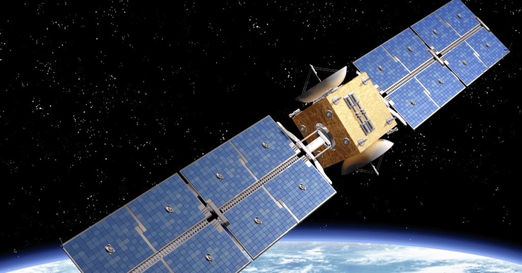
1. Space Segment
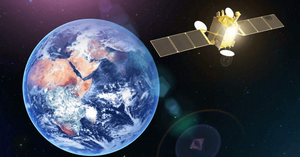
The space segment is a constellation of 31 satellites or space vehicles (SVs) that orbit approximately 20,000 km above the earth’s surface with an orbital period of 12 hours. They orbit the earth twice daily.
Every satellite carries out the task of transmitting its time and position to a receiver at regular intervals. Subsequently, an atomic clock determines your position in time and space based on the time the signal takes to reach it.
A mechanical clock isn’t cut out for the above task, so GPS uses an atomic clock. It’s the most precise and steady clock in the world and can count down to the billionth of a second.
2. Control Segment
The control segment comprises the master ground station in Colorado Springs, Colorado, USA. It also constitutes six monitor stations spread around the globe, along with three ground antennas.
These stations are responsible for monitoring the health of the satellites in the space segment. They run regular checks on satellites twice daily to monitor the functionality and operability of the SVs.
3. User Segment
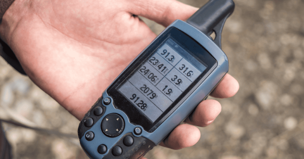
Also known as the final piece of the GPS, the user segment is the equipment that receives the GPS signal. They’re typically present within an aircraft and simplify the pilot’s job by alleviating their workload and increasing their awareness of air traffic.
Moreover, the user segment fitted inside an aircraft is only as smart as the pilot operating it. Consequently, pilots need to understand how aviation GPS works and how to utilize the acquired information to make the journey safer.
Now that you’ve understood aviation GPS and its components, the wait is over! Here’s how aviation GPS works.
How Does Aviation GPS Work?
The following steps summarize how aviation GPS works:
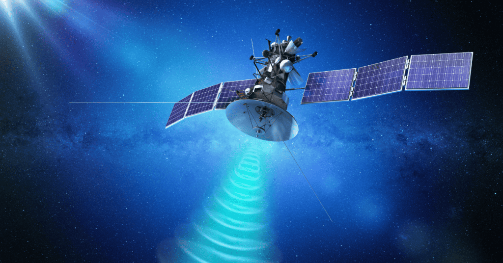
1. SVs in The Space Segment Transmit Signals

The SVs or satellites in the space segment send out signals at the speed of light while broadcasting pseudo-random noises (PRN) codes for a one-millisecond duration.
The transmitted signals are carried by a couple of frequencies in the Ultra High Frequency (UHF) band. These frequencies are called L1 and L2 frequencies. The L1 frequency equals 1575.42 MHz in magnitude and emits two codes, namely Coarse Acquisition (C/A) and Precision (P). While civilians only access the C/A code, military personnel use the P-code.
2. Monitoring Stations In The Control Segment Rectify The SVs’ Orbit
Next, the on-ground monitoring stations in the control segment monitor the SVs to detect errors in their position from the received signals.
Due to the gravitational pull and radiation of the Sun, the satellites’ orbits are subject to errors. As a result, there’s an automatic error in the position of the SVs calculated from the received signals.
After detecting any positional errors, the ground stations send the data to the SVs so that they can correct their positions.
3. Triangulation
The final step in detecting the position of an aircraft via GPS involves a process called triangulation, pointing at the need for at least three SVs.
Imagine each SV constructing a sphere of a fixed area around it. The aircraft can be anywhere in its sphere for a single active SV. But, with two active SVs, the aircraft’s position can be narrowed down to a circle because the intersection of two spheres gives rise to a circle.
However, with a third active SV in the picture, the aircraft’s position can be further narrowed down to two sets of coordinates. One set of coordinates describes the aircraft’s position on the earth’s surface, while the other describes it in outer space.
Eventually, the aircraft’s position is finally known, and it’s the same as the set of coordinates describing the location on the earth’s surface.
4. Error Correction In The Aircraft’s Calculated Position
Although three SVs are enough to calculate the aircraft’s position, a fourth SV is also necessary. As mentioned, SVs contain a highly accurate atomic clock to calculate time. Besides, the GPS receiver clock in an aircraft isn’t as accurate.
Since GPS signals travel at the speed of light, a time difference of even a millisecond can result in a positional error of 300 km. The receiver clock is deliberately kept at an error for rectification purposes. For instance, if the receiver clock is kept at an error of two milliseconds, the above error can be corrected during signal processing.
Hence, the atomic clock of the fourth SV provides the precise time, and the error-adjusted receiver clock interprets it, thus calculating the aircraft’s exact position.
5. Notifying The Pilot Of The Aircraft Position Via The User Segment

The GPS receiver in the aircraft receives and displays the position of the various user segment equipment. Lastly, the pilot reads the plane’s exact position with the help of several resources, like an operating manual.
What Causes Error in GPS Signals?
GPS signals contain inherent errors. These errors can be caused due to inaccuracy in the receiver’s clock and the gravitational pull of massive objects, such as the Sun and other satellites. The error caused by gravitational pull is regarded as an ephemeris error.
Furthermore, another common type of error is an ionospheric delay. When the GPS signal touches the ionosphere, it absorbs a portion of the signal’s energy and slows it down. This phenomenon results in the transmission of incorrect data to the receivers, resulting in errors in position calculations.
In a few cases, poor weather and extreme environmental conditions can also affect the accuracy of GPS signals.
Before moving on to the improvements in aviation GPS that led to the resolution and depreciation of the errors mentioned above, it’s vital to appreciate the efforts to ensure that precise GPS signals are available to the aircraft.
Improvements In Aviation GPS Accuracy
As mentioned above, GPS is a highly accurate technology. With three or more satellites in the picture, it’ll provide you with the accurate position of your aircraft.
Nevertheless, factors like an error in receiver clock timing and disruption in radio transmission due to poor weather can drastically impact GPS accuracy.
With time, there have been several developments in aviation GPS technology to improve the accuracy of the calculated aircraft position. Below are the various additions and improvements made to aviation GPS:
1. RAIM
There’s a method for GPS to eliminate a poor signal. For instance, if a specific satellite isn’t transmitting 100% accurate data, eliminating it from the entire picture will enhance the accuracy of the receiver’s position.
Yet, the critical question is how do you pinpoint the satellite transmitting wrong signals?
The receivers in aviation GPS use a technology known as Random Autonomous Integrity Monitoring (RAIM). This technology requires one more satellite in addition to the typical setup.
In RAIM, the receiver eliminates a satellite signal randomly and calculates its position. The entire process is repeated but with the elimination of a different satellite signal each time.
2. Barometer Aiding
Another method of improving the accuracy of aviation GPS includes fitting an altimeter inside the receiver. Providing altitude as a reference is equivalent to adding an extra satellite.
For instance, if the receiver knows it’s 5000 feet above sea level, it can assume it’s approximately 405 nautical miles away from a satellite.
3. Satellite-Based Augmentation Systems (SBASs)
The basic idea behind SBASs comprises detecting an error and then informing the receivers to correct those errors. The Wide Area Augmentation System (WAAS) technology is an excellent example of such a system.
What is Wide Area Augmentation System (WAAS)?
WAAS is the SBAS available to everyone in America, and it was developed by the Federal Aviation Administration (FAA). Several such technologies are available globally, such as EGNOS in Europe, GAGAN in India, and MSAS in Japan.
Although the FAA operates WAAS in the U.S., its signal is accessible to everyone internationally.
In WAAS technology, numerous ground stations are set up nationwide, and their precise position is noted. Each ground station possesses a GPS receiver that gets its position from a satellite. When the reported and satellite-detected positions don’t match, the system is said to have an error.
That error is sent to another satellite, and the signal is broadcasted again. A compatible GPS receiver uses the error for error correction and applies it for position calculations. Aviation GPS with WAAS functions similarly to regular GPS but also accounts for real-time errors.
Unfortunately, not all planes with GPS are compatible with WAAS. To use WAAS, the GPS receiver in your plane must support and receive the signal from the WAAS satellite.
Note: Standard aviation GPS has an accuracy of 15 meters, but adding WAAS to the navigation system increases the accuracy to three meters.
How is Aviation GPS Used For Safe Landings?

Aviators use several technologies to maximize the safety of an aircraft’s landing as much as possible. The Instrument Landing System (ILS) is the most widely used landing system.
It’s a precision runway approach aid involving two radio beams that work harmoniously to provide pilots with vertical and horizontal guidance throughout landing. In addition, it’s crucial to note that ILS doesn’t use GPS!
One of the many above-mentioned accuracy-enhancing technologies, SBAS, is also used for overseeing safe landings. Remember, a landing approach based on SBASs is known as Localizer Performance with Vertical (LPV) guidance approach.
Besides these safe landing systems, the most efficient one is the Ground-Based Augmentation System (GBAS) Landing System or GLS. Below are the various steps involved in GLS:
1. Antennas Receive Signals For Correction
GLS utilizes a bunch of antennas located at a particular predetermined position of the airport. These antennas receive signals from SVs and send them to a control room located in the airport. The signals are adjusted to account for ephemeris errors, SV clock errors, and ionospheric delays.
2. VHF Antenna Disperses Corrected Signal As Trajectory Beam
Subsequently, the adjusted signals are sent to a VHF antenna as a VHF signal. This antenna sends a vertical and lateral trajectory beam to the aircraft ready for landing. Notably, airplanes require a GLS receiver to detect such a trajectory beam.
3. Pilot Tunes To GLS Channel For Guidance
Lastly, the pilot must tune to the proper GLS channel on the approach chart. Also, each runaway has a unique GLS channel. Upon tuning to the necessary channel, the pilot uses guidance provided by the trajectory beam to perform a safe landing.
The usage of ILS as the preferred landing approach is gradually declining. Approaches like GLS and LPV are taking over due to low costs and fewer infrastructural requirements.
Also Read About

Stefan Quartemont is an experienced author and expert on GPS technology, with a particular interest in its practical applications. He gained his knowledge of GPS tracking during his studies at Texas A&M University and has since become a regular contributor to TraxFamily.com, providing valuable insights into the latest developments in GPS tracking. Stefan’s expertise and passion for leadership make him a respected authority on GPS technology, and his work with TraxFamily.com is highly beneficial to anyone interested in staying up-to-date on this exciting technology.