
The Global Positioning System (GPS) simplifies navigation by assigning locations with specific GPS coordinates instead of haphazardly numbering and naming streets.
With the set-up of satellites in the sky, ground control stations on the land, and GPS receivers within users’ access there aren’t many locations left whose discovery remains an unfathomable dream.
Every place has become traceable on the imaginary grid of latitudinal and longitudinal lines created by this navigation system.
In this technological era, industries are investing in GPS mechanisms to increase the efficiency of their functioning. The GPS coordinates have improved logistics and transport by enabling real-time tracking of vehicles and delivery agents.
Besides its highly recognized contribution to science and research, it has become an essential element of daily navigation. Time and time again, it has protected drivers against accidents on busy roads by displaying accurate traffic predictions.
Its accuracy persists beyond land with its ability to effortlessly locate water vessels on oceans. Ships and cruises have onboard GPS receivers to plan their routes and generate estimated arrival times. Even in the air, GPS coordinates have simplified navigation in aviation.
Learning how to read GPS coordinates may not appear necessary to everyone. However, with the rising employment of this navigation mechanism across all spheres of life, it’s becoming a must-have skill.
How GPS Coordinates Work?
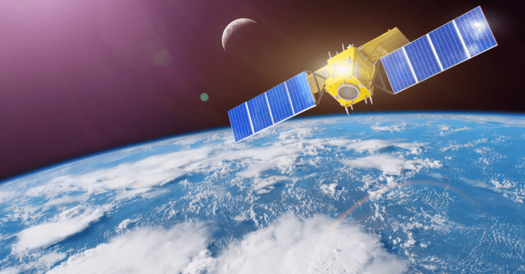
GPS functions through a constellation of Earth-orbiting satellites. The complete GPS mechanism revolves around the networking between these satellites in space, the ground control stations, and GPS receivers.
The GPS coordinates work in the following manner to provide accurate location and time information:
- GPS receiver sends a signal to multiple GPS satellites orbiting the Earth. The receiver could be any smart device or GPS navigation system.
- Each satellite reverts with information about its specific location and the time it received the signal.
- The receiver then processes this information to calculate its distance from each satellite. This calculation assesses the signal’s travel time from the satellite to the receiver.
- By comparatively analyzing its distance from numerous satellites, the GPS receiver determines its location on Earth using trilateration.
- The receiver then displays its location to the user along with its distance from the selected destination.
How to Read GPS Coordinates?

GPS coordinates generate a precise location for any place on Earth. These coordinates form at the intersections of longitude and latitude lines; each line carries a value measurable in degrees.
The horizontal lines of latitude run parallel to the equator, while the longitudinal lines go perpendicular to it. Moreover, the network of these lines divides the Earth’s surface into an imaginary lattice.
GPS satellites assign specific coordinates to each intersection and point on the network. Formulation of the GPS coordinates of a location results from analyzing the position of latitude and longitude crossing over it.
For instance, 40.6892° N and 74.0445° W is the GPS coordinate of the Statue of Liberty. The first set of numbers represents the latitudinal value, and the second represents the longitudinal value.
Before reading the GPS coordinates, it’s pertinent to clarify its format. Usually, GPS devices use the decimal degree (DD) format or the degrees, minutes, and seconds (DMS) format.
1. Decimal Degree Format
GPS coordinates expressed in DD format use values between -90 and 90 for latitude and between -180 to 180 for longitude. To read coordinates in this format, follow the instructions given below:
- Determine the values of latitude and longitude. Typically, the latitude’s value precedes the longitude’s value.
- Read the latitude measure. It’ll be a decimal value ranging between -90 to 90 degrees. If the value is positive, it denotes a location north of the equator. A negative value represents a location to the south of the equator. For example, 37.8857 pinpoints a place falling north of the equator.
- Read the longitude measure. It’ll be a decimal value present between -180 and 180 degrees. If the value is positive, it denotes a location east of the prime meridian. If it’s a negative value, it relates to a location west of the prime meridian. For instance, if the longitude’s value is -77.0852, it represents a location falling west of the prime meridian.
- Combine both values to analyze the GPS coordinates of the location. For example, if the latitude’s value is -37.8857 and the longitude’s value is 77.0852, the GPS coordinate will be 37.8857° S, 77.0852°E.
2. Degrees, Minutes, Seconds (DMS) Format
This format expresses the value of longitude and latitude in terms of degrees, minutes, and seconds. Follow the instructions given below to read the GPS coordinates in this format:
- Identify the values of latitude and longitude. The first set of numbers usually represents latitude, and the second represents longitude.
- Read the latitude value first. It will contain three parts – degrees, minutes, and seconds, followed by the ‘N’ or ‘S’ sign. For instance, 39° 54′ 23” N means the location is in the Northern hemisphere.
- Read the longitude value. It’ll have a similar system of degrees, minutes, and seconds, but it’ll end with an ‘E’ or ‘W.’ A location with a 78° 2′ 12” E longitudinal value falls to the east of the prime meridian.
- Combine the two values to estimate the particular GPS coordinate. If the latitude value is 39° 54′ 23″ N and the longitude value is 78° 2′ 12″ E, then the GPS coordinate would read 39° 54′ 23″ S, 78° 2′ 12″ E.
Tip: The symbols following the numeric values denote degrees, minutes, and seconds. You shouldn’t confuse them with directional signs, like ‘N’ or ‘S.’
Hacks for Reading GPS Coordinates

Here are some hacks to improve your skill of reading GPS coordinates:
- Understand the GPS coordinate format. Although there are several systems for expressing location coordinates, the DMS and DD formats are the most common. Learning these by heart can enhance your speed of decoding coordinates.
- Use online tools. Varieties of online tools are available for converting GPS coordinates into different formats. They can also help you visualize your location on the map.
- Use GPS devices while navigating through locations. It’s an excellent method for learning new ways to read and interpret GPS coordinates.
- Double-check your coordinates with the landmarks. At times, the GPS coordinates may have errors. Identify landmarks near the desired location for cross-checking the correctness of the coordinates.
- Practice reading GPS coordinates. It’s a skill that’ll develop with consistent attention and training. Practice decoding different coordinates and comparing your result to a physical or virtual map.
Significance of GPS Coordinates
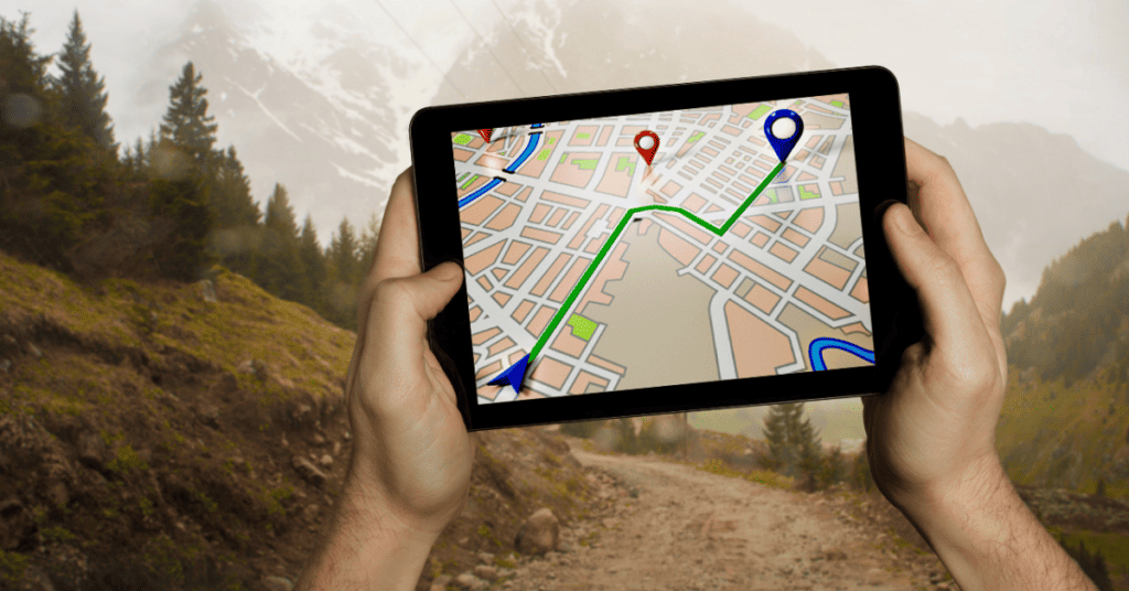
The advent of GPS technology revolutionized the process of finding one’s path while in sea, air, or on land. In short, with a GPS device, a person can navigate to their destination and avoid taking an unwanted detour.
Learning how to read GPS coordinates can prove helpful in times of crisis. In search and rescue operations conducted after a natural calamity, first responders can use GPS coordinates to locate people in need. If rescuers learn how to read GPS coordinates, it’ll fasten their pace of identifying the location of the victims and increase their efficiency in delivering relief.
Adventure enthusiasts who love the challenge of trekking through confusing terrains can learn about GPS coordinates to make their activity more enchanting. They can read these coordinates to find new locations and embark on their journey without getting lost mid-way.
Science and research aren’t far from indulging in the benefits of GPS technology. Researchers employ GPS coordinates for studying animals by tracking their movement and behavior. Some scientists use this technology to measure the intensity and extent of wildfires and hurricanes.
Even in Palaeontology and Archaeology, researchers utilize GPS coordinates to map the location of archaeological and fossil sites.
Not to forget, the entry of GPS in agriculture changed the traditional norms of manual monitoring. Now, the GPS coordinates accurately map and monitor plant growth and crop yield on behalf of the farmers. Additionally, its inputs on soil conditions are helpful while crafting or modifying the strategy for the next cropping season.
Above this, using GPS coordinates has become significant in marine navigation. Reading the GPS coordinates can reveal the vessel’s position on the water in real-time and aid in the estimation of its time of arrival.
Another of its benefits is collision avoidance. The vessel’s GPS device can detect the coordinates of nearby reefs or rocks and even other ships. Navigators can read these GPS coordinates to adjust the speed or course of their vessels and avoid a potential collision.
The industrial sector incorporated GPS in its Logistical and Supply Chain Management and Fleet Management system. Learning about GPS coordinates can add stars to your CV if you want to work in this sector.
The reason for enlisting the fields benefiting from GPS navigation is to showcase its growing significance in every sector. Reading GPS coordinates has become a skill. With ritualistic practice and training, anyone can master this skill and become efficient at navigational tasks.
Conclusion
Reading GPS coordinates is not rocket science. A basic understanding of GPS formats with habitual practice will be enough to develop this skill.
There are just three steps:
- Determine the GPS format.
- Read latitudinal and longitudinal values.
- Combine both values to complete the set of coordinates.
You can practice this skill by taking up exercises like decoding random GPS coordinates or by observing the functioning of your car’s navigation system.
Learning to read GPS coordinates might seem tricky at first. Eventually, you’ll be able to skim-read through coordinate directions and master the art of navigation.
Also Read About

Stefan Quartemont is an experienced author and expert on GPS technology, with a particular interest in its practical applications. He gained his knowledge of GPS tracking during his studies at Texas A&M University and has since become a regular contributor to TraxFamily.com, providing valuable insights into the latest developments in GPS tracking. Stefan’s expertise and passion for leadership make him a respected authority on GPS technology, and his work with TraxFamily.com is highly beneficial to anyone interested in staying up-to-date on this exciting technology.