
The navigating capacity of human beings dates back to Copernicus, who studied the position of the planets and moons to deduce the ecosystem positioning of the solar system. Over time, various navigators and astrophysicists traveled the world and further studied the dynamics of the cosmos to find out its intricate working.
In the late 20th century, scientists used this ancient knowledge to develop artificial satellites to help the human race monitor and track consignments. The space-age technology further improved its capacity and accuracy and made the GPS signal-receiving device accessible among the commoners.
Today, a diverse category of industries rely on GPS readings to better their services and utilize them for their customer’s demands. From the hospitality to the automobile industry, business owners and daily commuters consistently use GPS to collect data or protect their properties from potential threats.
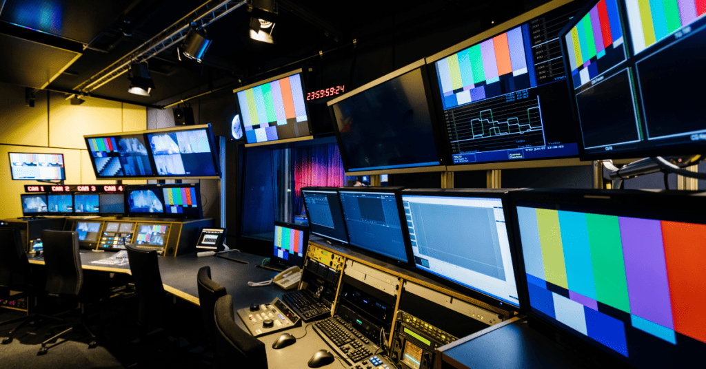
What is the Global Positioning System?
Global Positioning System or GPS is a ubiquitous part of on-road, air, and water navigation in modern life. The tracking mechanism is a highly responsive system that provides accurate positioning, navigational, and timing measurements worldwide.
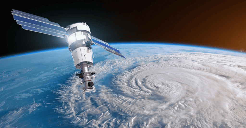
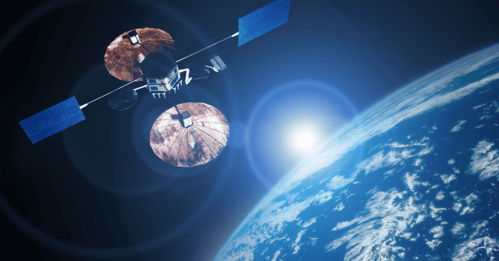
According to NASA, the GPS is a network of over 30 satellites revolving around Earth. These satellites provide location coordinates to the GPS receiver stationed anywhere on Earth. The tracker interprets these signals and sends subsequent alerts to its owners for possible actions or to help make effective decisions.
Remember, GPS operates in all weather conditions and delivers accurate results. For better readings, the operator must ensure no line-of-sight obstructions interfere with the signals from the four primary satellites in space.
All in all, a tracking system operates irrespective of internet connection. However, its efficiency increases with the presence of online connectivity.
What Are The Three Elements of GPS?
The Global Positioning System has three technical segments that work in coordination to provide real-time information. These three segments align themselves with picking up satellite signals and bringing them to the user and ground control facilities for interpretation:
Space Segment
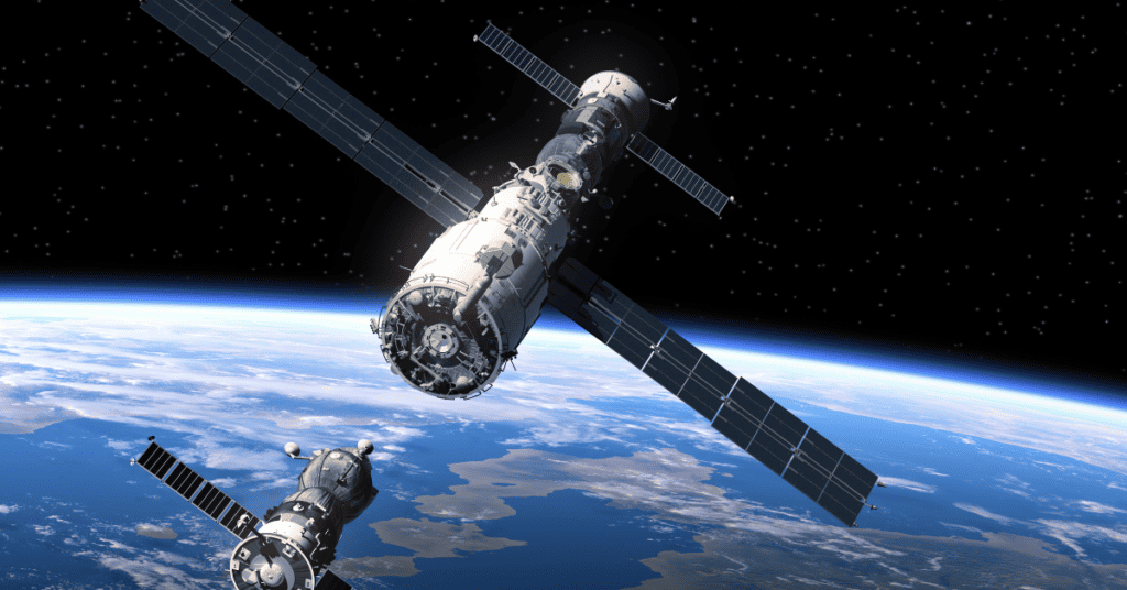
The space segment constitutes 24 satellites that revolve around the Earth in 6 different orbits. Each satellite is inclined at a 55° angle from the other.
According to scientific research, each satellite completes one revolution around the Earth at 23 hours and 56 minutes, to be precise. Thus, scientists deduce that this satellite constellation enables viewers to watch at least four satellites daily.
Operational Control Segment
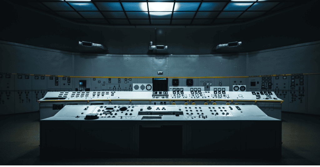
The operational control or ground control system constitutes different centers located all around the world. It includes the Master Control Station (MCS) in Colorado Springs. Besides, there are remote monitoring stations in Hawaii, Diego Garcia, Ascension Island, and Kwajalein. Also, the uplink antennas are located in three of the four remote monitoring stations.
These remote monitoring stations observe the 24 satellites in their orbits, tracking each using GPS signals. Moreover, they record their navigational signals and relay them to the MCS.
Note: These four monitoring stations can continue to supervise each GPS satellite for 20 to 21 hours daily.
User Equipment
The final component of GPS is a tracking device that users can utilize for location information. Such devices are often expensive depending on the device’s inner complexity, exterior design, and application.
Every GPS receiver consists of three parts: the antenna, a receiver and processor unit, and a control/display unit.
While the antenna receives the signal, the receiver-processor unit transmits the signals to radio signals which helps in easy navigation.
Also, the control/display unit relays the location and status of the subject. This data provides an interface for the receiver signal.
How Does GPS Work?
The GPS technique works through a strategy called trilateration. It’s a mathematical strategy that the tracking device uses to determine user position, speed, and elevation.
Keep in mind, it’s an updated and sophisticated version of triangulation that captures satellite signals and translates them to procure location information.
The satellites revolving around the Earth send signals to the receiver. The tracking device on or near the planet’s surface captures these signals to read and interpret them. Additionally, to pinpoint the accurate location of an object, the tracking device should be able to receive and interpret signals from at least four satellites.
Typically, each satellite sends out unique signals, which could be the orbital parameters or related to time. The tracking device can read and interpret signals from over six satellites at any given point.
When a satellite sends a microwave signal, the GPS device picks it up and calculates the distance using the trilateration method. However, a single satellite can only help the tracking device to calculate the distance. The GPS needs to refer to other satellite signals to provide its operators with accurate readings.
Note: When a satellite sends a signal, it creates a circle with a radius equal to the distance it travels from the satellite to the device.
A second satellite will add a second circle to the preexisting configuration. By doing so, the object location is streamlined to a point where the two circles intersect.
Adding a third satellite to the network lets the GPS receiver determine the exact object’s position. It’s the point of intersection of all three orbits.
Given we dwell in a three-dimensional space and the satellite orbits are spheres, the GPS selects the intersection closest to the planet.
When the object moves, the satellite monitoring it moves as well. For example, a car wearing a GPS is in constant motion. As the vehicle moves, the radius of the satellite sphere changes, and new spheres form. These changes give information about the car’s current location.
The user can use this actual data from the device to calculate the speed of the car, its direction, and the estimated time it’ll arrive at the destination.
How Accurate is GPS?
The accuracy of GPS has been rising quite frequently. But is it safe to make navigational assumptions through GPS readings? Also, how accurate is GPS in calculating the geographical coordinates?
The U.S. Government uses the global tracking mechanism and has confirmed that in 95% of the cases, it provides better results than 2.2-meter horizontal accuracy. Also, it produces readings of more than 3-meter horizontal accuracy in 99% of cases.
Note: The rate of GPS accuracy increases in open spaces where there aren’t any tall buildings or bridges that will interfere with the signals.
Here are some factors that cause hindrances to GPS accuracy:
- Atmospheric Disturbances: The ionospheric refraction and diffraction alter the GPS readings. Heavy storm cover and solar storms deviate the signal movement and thus cause disarray in the GPS readings.
- Physical Obstruction: Tall mountains, trees, and other large masses can disrupt the measurements of the GPS receiver.
- Ephemeris: It’s a rare case arising when the orbital model of the satellite goes out-of-date. As a result, the satellite either produces the wrong signals, or the GPS fails to receive any sign from them.
Benefits of GPS Across Industries
Several industries utilize this navigation system to boost their productivity, enhance equipment longevity, maintain vehicles, and monitor the status of assets and employee behavior. Besides industries, daily commuters use GPS in their cars for navigational purposes and to ensure the security of their property.
Some of its advantages are:
Navigation
GPS transformed the navigation system with real-time readings, and several companies across industries felt the need. From the agricultural sector to the railways, engineers combine communication systems with GPS to provide effective alerts whenever a vehicle derails from its predetermined path.
Most importantly, fleet-managing companies exploit GPS to keep track of their vehicles on cross-country journeys. Paired with geofencing technology, GPS safeguards assets and monitors the usability of various vehicular equipment.
By comparing the coordinates, GPS points out a car’s accurate and current status. The device further highlights the direction in which the vehicle is heading and its speed. Using this data, fleet managers can determine the driver’s behavior and if the carriage will reach the destination on time.
Security
With increasing crime rates, especially theft cases, people are resorting to GPS technologies. Tracking devices help the owner spot their lost goods and alert the local police authority immediately.
Often livestock farmers use GPS tags to monitor the movements of their cattle. In addition, farmers and fleet managers use geofence technology to set up a digital perimeter that the GPS will continually monitor. When any equipment, asset, or vehicle leaves the virtual periphery, the GPS receiver alerts the owners about potential theft.
Law enforcement professionals further use GPS technology to track the location of criminals and terrorists.
Employee Monitoring
Employers use GPS to keep a watchful eye on their employees. For instance, in the agricultural sector, farm owners check where and how long their employees work. This real-time data enables them to determine the employee’s payments.
In fleet management companies, the managers use GPS to record the drivers’ behaviors. Using the tracking device, the managers check if the drivers are deviating from the predetermined path, resting for long periods, or whether they are in danger. Upon getting such information, the managers take precautionary steps or use this data to reach an intelligent precautionary decision.
Moreover, business owners use GPS to keep track of their employee payroll. With advanced technologies, managers or company owners can fix a customized email to alert them on salary dates.
Traffic and Weather Alerts
As a data collection device, GPS has been providing accurate information about vehicles expected to arrive at specific crossings. Such real-time data help public transport operators determine how to control traffic and identify the cause of traffic congestion.
Typically, traffic police refer to GPS data for clearing congestion in high-alert areas. The positioning device collects data on vehicles’ positions and speeds in a specific area.
Furthermore, operators use the tracking system to understand and monitor the atmospheric boundary. These readings help scientists make weather predictions. For better predictions, scientists are using GPS to measure the moisture in the air.
Military Usage
Besides using GPS for navigation and monitoring, the military also uses GPS when setting the target for missiles. Armed soldiers use the tracking mechanism for precision-guided munition strikes, search and rescue missions, and remote control of air crafts.
Most military commanders are responsible for locating criminals and figuring out their movements. Special forces use the global tracking strategy to reach the enemy base camps and dismantle their congregation.
In the case of SOS situations, military forces employ tracking devices to find injured or deserted soldiers. That way, they can rescue them before it’s too late.
What is the Global Navigation Satellite System?
The GNSS is a type of satellite equipped with global coverage. Until 2020, there are two GNSS currently present in space— the U.S. Navigational Signal Timing and Ranging (NAVSTAR) GPS and the Russian Global Navigation Satellite System (GLONASS).
The NAVSTAR has 32 U.S. satellites, while Russia owns 24 satellites for their GLONASS. To add, they also have three more that act as spare or test dummies.
What is The Difference Between GPS and GNSS?
GPS is a subset of the GNSS, but most receivers can be categorized under GPS-only and GNSS divisions. While the former can extract signals and only read location-based information from its satellites in the GPS constellation, the latter can receive signals from both GPS and the GLONASS at the same time.
GNSS has access to over 60 satellites to determine the location. Since more satellites help produce better results, the GNSS has enhanced and more accurate results, given its access to multiple satellites.
When numerous satellites produce information, it increases the device’s accuracy and enables the tracking device to calculate complex positions with higher precision.
Frequently Asked Questions
Here are some commonly asked questions regarding what GPS is:
GPS stands for global positioning system. It’s an American satellite facility providing information about the position, time, or navigation of objects in motion.
GPS lets us know where we are and in which direction we are moving on the Earth. Furthermore, there is a multitude of artificial satellites orbiting the planet. They send signals to the GPS device, and it informs the owner of their location.
The primary people behind the idea of this radio-navigation system are Roger L. Easton, Ivan Getting, Bradford Parkinson, and Dr. Gladys West.
Conclusion
In the near future, GPS will overpower all streams of industries and consequently boost their revenue. The tracking mechanism’s merits don’t limit to commercial sectors only. Powerful and developed countries use GPS to monitor enemy movements and safeguard national boundaries.
Scientists have found newer methods to utilize GPS technology in matters of the environment and its analysis. For instance, in the cases of natural calamities, GPS assists researchers in analyzing the earthquake incident, the cause of volcanic eruption, and finding out how to decrease the intensity of an avalanche.
Across the world, scientists are working towards upgrading the global positioning system by enhancing its accuracy and improving its reliable parameters. In the next generation of GPS devices, we can expect reduced susceptibility, signal jamming, and enhanced signal protection.
Soon, GPS will be the guiding light of human civilization to a more technologically co-dependent era.

Meet Klark Kurz, a GPS enthusiast and author with a B.B.A. in Finance from Texas A&M University. With a passion for technology and innovation, Klark provides accessible and user-friendly content to help individuals and businesses make informed decisions. As a regular contributor to TraxFamily.com, Klark’s insights and practical advice make GPS tracking more accessible, affordable, and user-friendly.