
Are you someone who tracks their children and vehicles through a locating device? Do you navigate through traffic using an app or your vehicle’s system? Are you fascinated by how it all works?
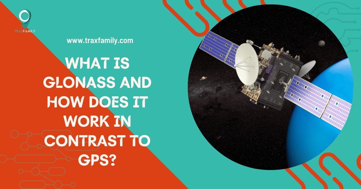
If yes, then you must have been familiar with GPS. However, if you are wondering what GLONASS is and how it works differently from GPS, then we are here to enlighten you.
In simple terms, both GLONASS and GPS are two different GNSSs (Global Navigation Satellite Systems) developed by Russia and the United States, respectively. They serve almost similar purposes of positioning, navigation, and timing (PNT) apart from their other services.
In this guide, we will discuss what GLONASS is and how it works in detail to decide on its necessity.
What Exactly is GPS’s Russian Alternative GLONASS?
With its Russian name, Global’naya Navigatsionnaya Sputnikovaya Sistema, GLONASS usually stands for Global Navigation Satellite System. Initiated by Russia to focus on its territory, it later recently expanded for global use just about a decade ago.
The development of GLONASS was ideated and began in 1976, and the soviet union initiated the launch of the satellites Kosmos-1413, 1414, and 1415 on October 12th of 1982. Though GLONASS was declared to be operational in 1993, it finally discharged the entire constellation by 1995.
The constellation is divided into three orbital planes, each consisting of eight satellites that are spaced at an even distance. The satellites forming the constellation repeat their cycle every eight days to complete 17 orbital revolutions by the end of each cycle.
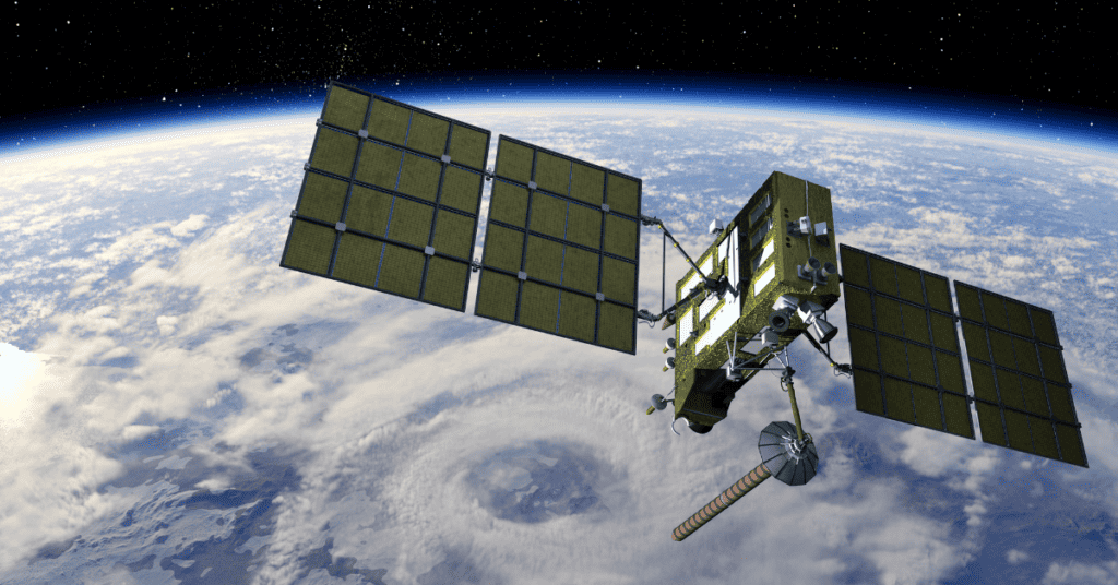
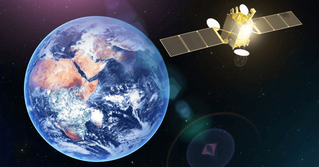
Like any other GNSS, be it GPS or Galileo, GLONASS is another satellite navigation system that Roscosmos State Space Corporation manages. It works on the data of its space segment that has 24 satellites that are actively operating in the Earth’s orbit.
Primary Specialisations of GLONASS
| Operational Satellites | 24 |
| Orbital Planes | 3 |
| Orbit’s Diameter | ~38,260 km |
| Inclination | 64.8° |
| Orbital Period | 11 Hours 15 Minutes |
| Position Accuracy | 5-10 meters |
| Segments | 3 (space, ground, and user) |
| Managed by | Roscosmos |
GLONASS’s Transformation Over the Years
Initially, GLONASS was launched for the service of military and other government agencies in 1982 for measuring the weather, location, timing, and velocity.
Yet by 2010, GLONASS was done with covering all of Russia’s land. While the revamping of the 24 satellite orbital constellation, about a decade prior, in October 2011, empowered it for full global coverage. In turn, it provided GLONASS as a comparable alternative to GPS.
Since then, numerous amendments have been made to the satellite designs of GLONASS. The most recent one, GLONASS-K2, is considered to be active by 2023.
Remember, the upcoming generation is expected to have a better coding approach to improve the manner of positioning and accuracy in GLONASS-K. They’ll replace the current generation GLONASS-M after these satellites nearly extinguish their operational lives. So, the global market can entrust more of this Russian GNSS.
Not to forget, GLONASS-KM is in the research phase right now before it starts functioning from 2025–2030.
How does GLONASS Work?
After a brief idea of GLONASS, you might be thrilled to closely know its work mechanism. So, for basic signal communication, your device should lie on the plane of at least four satellites to track or locate it.
Currently, GLONASS works on Frequency Division Multiple Access (FDMA). The GLONASS Space Vehicles are responsible for sending radio signals that operate on their foundational frequencies. These frequencies are transmitted in two different sub-bands of L1 and L2, with L1 ~ 1.6 GHz and L2 ~ 1.25 GHz.
Located at opposite antipodal points in the orbital plane, two satellites can transmit through the same carrier frequency since each of them uses its frequency that carries the signal forward.
However, soon the next GLONASS-K will inculcate code division multiple access (CDMA) like other GNSS, for example, GPS. This will enhance GLONASS-K’s accuracy over other GNSS, utilizing both FDMA and CDMA.
GLONASS’s Ground and User Segments
The ground segment of the GLONASS manages the control system and network over the entirety of Russia. It overlooks the working of the satellites and the data for navigation and positioning.
Moreover, the user segment analyses the signals from GLONASS to calculate the required coordinates for positioning, navigation, and time(PNT).
GLONASS’s Standard and Precise Service
The Russian system of GLONASS provides two types of services. The Standard Positioning Service (SPS) and the Precise Positioning Service (PPS) are those two active services.
- On one hand, the standard service is made available globally to users as an open, free service. It used to operate on a single frequency band until 2004, after which dual bands emerged to facilitate the transmission of signals. This is the service utilized by civilians worldwide.
- The precise service, on the other hand, is of high accuracy, has operated on a dual frequency band since the beginning, and is accessed by the military and restricted authorities. The signal frequency lengths of this service are mostly kept confidential for its security.
How does A-GLONASS Work?

A-GLONASS (Assisted GLONASS) is very similar to Assisted-GPS (A-GPS), which provides additional features to smoothen the experience for mobile phone users. It tracks your location through cell phone towers and data connection to quickly position you.
As the name suggests, it assists the users with real-time traffic details and turn-by-turn navigation, along with other features. Some chips that are GLONASS supported additionally enhance the user experience and navigation.
Which is Better – GLONASS or GPS?
As we know what GLONASS’s positional accuracy is, it’s easier for us to draw parallels and make conclusions on GLONASS versus GPS.
In comparison to GPS’s accuracy of 3.5-7.8 meters, GLONASS showcases an accuracy of 5-10 meters. This increases a slight chance of more errors, making GPS a better choice in positioning.
However, as you focus on navigation, you might realize that the arrangement of GPS and GLONASS satellites is quite distinct. While GPS works well on plain terrains, GLONASS might help you in higher altitudes.
Apart from that, GLONASS should be your priority if you’re a resident of Russia or northern latitudes. Otherwise, GPS works globally with ease.
Finally, one should remember that the optimum use of GNSS is made when GLONASS and GPS are used together. This provides you with an accuracy that might position you with the help of about 55 satellites.
What is Glospace?
In 2007, Russia made its first attempt at promoting GLONASS commercially by introducing Glospace SGK-70 as the first navigation system for automobiles that utilized both GLONASS and GPS for highly accurate pin-point navigation.
Though the initial model was heavy and oversized for installation, new re-editions are supposed to be set on the global market soon.
Furthermore, the idea was widely utilized as companies started situating GLONASS receivers on their GPS-supporting devices to enhance the system. This aided Russia’s attempts at commercializing GLONASS to some extent.
Devices that Use GLONASS

As we further discuss GLONASS, it’s normal for you to be curious about the devices that use this navigation system. Though there are now abundant amounts of devices that use GLONASS either separately or with GPS, we’ll look at the most popular ones here.
1. Fitbit Charge 4
The Charge 4 allows users to access GLONASS through their settings to fasten the GPS-induced programs on their Fitbit.
2. Apple’s iPhone (4S onwards) and Watch
Apple introduced GLONASS quite early into its devices in the market. All the models from iPhone 4S onwards have access to GLONASS alongside GPS. You can also find GLONASS on Apple’s iPads and watches these days.
3. DJI Mini 3 Pro
Since drones operate at high altitudes, they rely on multiple navigation systems that enhance their accuracy. DJI Mini 3 Pro is one of the many drones that support GLONASS apart from other GNSS.
4. Garmin’s GLO
Garmin’s GLO is a Bluetooth receiver that utilizes multiple GNSS, which also includes GLONASS. It transmits satellite data to your paired devices, even in the most remote locations.
5. Samsung Galaxy
Samsung remains a popular name among several mobile phone brands that have introduced GLONASS in their system. With its Samsung Galaxy S20 series and multiple other Galaxy series, it has made GLONASS quite regular in its devices nowadays.
FAQ’s
With its increasing efficiency, a good deal of mobile phone brands support GLONASS on their devices. Some of them are Apple, Samsung, Nokia, Xiaomi, Motorola, etc.
Yes, Google Maps and most other apps that have maps use the data connection of your phones to connect with the satellites that operate through GLONASS or any other GNSS. Alternatively, A-GLONASS supports the facilitation of maps on your phones.
You should choose to use GLONASS over GPS only if navigating in high altitudes, Russia, or northern latitudes. Otherwise, GPS works more precisely in plain terrains globally.
There are numerous GNSSs that have been developed or are in the making these days. Apart from Russia’s GLONASS, US’s GPS, Europe’s Galileo, India’s IRNSS, and China’s BeiDou are a few GNSS. However, GLONASS remains the most widely used GNSS after GPS today.
Summary
We have deduced so far what GLONASS is. With its comparable parameters, it’s an easy alternative for GPS.
Mainly, it helps in the measurement of velocity, time, position, and navigation through the satellites. Moreover, it operates through dual service offers and is slowly growing commercially as a reliable GNSS.

Carson Harris is a highly qualified author and expert in GPS tracking technology. With a background in electrical engineering and machine learning, he has established himself as a trusted source of information. Carson’s work experience at Garmin and Panasonic has further enhanced his expertise. He possesses creative skills in website design and AI applications. Known for his clear and concise communication, Carson’s articles on Trax Family’s website provide valuable insights on GPS trackers.