
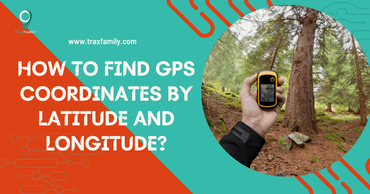
GPS location-based services are a common occurrence in our lives. Everyday items like phones, wristwatches, vehicles, and portable trackers are equipped with GPS technology.
These devices have made finding GPS coordinates a pretty straightforward task. You can enter an address in your search bar and get the necessary information.
For example, let me search for the coordinates of the Eiffel Tower on Google. The result is 48.8584°N, 2.2945°E.
Now these numbers and letters seem confusing to me. How do I make sense of them?
Professionals like pilots, sailors, landscape architects, and engineers need to find and read these coordinates. If you like traveling, hiking, or sailing, understanding how these coordinates work is an important skill to have.
Here today, I will give you an answer on how to find GPS coordinates and how to read them.
What are Latitude and Longitude?

GPS does not have a separate coordinate system of its own. It uses latitude and longitude to point to the exact location on Earth.
Latitude and longitude are abstract circular lines that run across the Earth. These lines help determine how far a place is north or south of the equator and east or west of the prime meridian.
1. Latitude
The equator is the abstract line that divides the Earth into north and south hemispheres. Latitudes run east to west parallel to the equator.
Latitudes are given an angle and are commonly read as degrees, minutes, and seconds. The equator is the Earth’s midpoint, and our reference point is assigned a value of 0°. We denote the south pole with -90°, whereas the north pole with +90°.
The lines to the north of the equator are denoted by ‘N.’ The ones to the south are denoted by ‘S.’
2. Longitude
The prime meridian is the line that divides the Earth into east and west hemispheres. Longitudes run north to south, parallel to the geographic poles. It determines how far a location is east or west for the prime meridian at Greenwich, London.
Similar to latitudes, longitudes are also measured in degrees, minutes, and seconds. The prime meridian is the longitude with 0°. As you go eastward, the measurement is +180°, and the westwards is -180°.
The lines to the east of the prime meridian are denoted by ‘E.’ The ones to the west are denoted by ‘W.’
These imaginary horizontal and vertical parallel lines around the Earth provide a grid framework. We can then utilize this grid to determine the exact location with respect to the equator and prime meridian.
For example, let us consider the coordinates 30°N, 60°W. We will read this location as 30° north of the equator and 60° to the west of the prime meridian.
How to Read GPS Coordinates?
We will now understand how to find GPS coordinates using latitude and longitude together. The 30°N, 60°W example we considered above is pretty simplistic. But not all locations can be precisely defined with two numbers.
The degree is further divided into subunits to improve accuracy. There are three different ways these coordinates are written. They are:
- Decimal Degrees (DD)
- Degrees, Minutes, Seconds (DMS)
- Degrees and Decimal Minutes (DMM)
1. Decimal Degrees (DD)
DD is one of the straightforward methods of representing coordinates. The latitude and longitude are the decimal fractions of the degree.
For example, the coordinates of the Eiffel Tower in DD format are 48.8584 N, 2.2945 E. It is an easier format to understand and share.
If we consider precision, a city can be accurately represented by one or two decimal places. Individual houses or trees can be accurately represented with up to 5 decimal places.
2. Degrees, Minutes, and Seconds (DMS)
In the DMS format, the degree unit is further divided into minutes. Each degree is divided into 60 minutes. Each minute can further be divided into 60 seconds.
So, continuing the example of the Eiffel Tower, in the DMS format, the coordinates are 48°51’24.684″N, 2°17’40.272″E.
Here a single apostrophe follows the minutes, and a double apostrophe the second.
3. Degrees and Decimal Minutes (DMM)
In the DMM format, the degree is divided into minutes. The minutes are further divided into decimals. This is one of the lesser-used formats for GPS coordinates.
The Eiffel Tower coordinates in the DMM format are 48°51.504’N, 2°17.67’E. Here you will add only one apostrophe at the end of the minutes.
How to Find GPS Coordinates Using Your Phone?

If you are looking for GPS devices, coordinates, Google Maps on your phone is one of the easiest apps to use.
Open Google Maps and drop a pin on your current location. When you press the red pin for a couple of seconds, the GPS coordinates will appear on the search bar at the top. If you are using a tablet or computer, right-clicking on the dropped pin will show you the coordinates.
You can follow a similar process for your iPhone and iPads as well. Open Apple Maps and click the current location button. A blue dot will appear on the screen indicating your location; click on it.
A pop-up box will appear; scroll down for the latitude and longitude information.
You can also use one of the many third-party websites and apps to help you find GPS coordinates.
FAQ’s
Yes. GPS relies on a network of satellites to find any location on Earth. Devices like phones with an integrated GPS receiver can get location data without the internet or cellular network.
You can use Google or Apple Maps to find the location of your vehicle. You can use phones with third-party apps to track your vehicle. The most reliable method would be to use car GPS trackers. These could be portable, OBD, or hardwired.
The decimal degrees (DD) and the degrees, minutes, and seconds (DMS) are the two most commonly used formats for GPS coordinates.
GPS location data is used for personal, pets, vehicle and asset tracking, navigation, emergency response, air traffic control, urban planning, wildlife conservation, and many more applications.
Summary
How to find GPS coordinates? You must understand how latitudes and longitudes work together to find and read GPS coordinates.
Latitudes tell you how far north or south the place is from the equator. Longitudes tell you how far east or west the place is from the prime meridian.
These imaginary lines together form a grid framework that can be used to pinpoint locations. The latitude is always written first, followed by the longitude. The three ways the GPS coordinates are denoted are DD, DMS, and DMM.
Using the Maps on your phone is the easiest way to find GPS coordinates even without internet or cellular data.

Carson Harris is a highly qualified author and expert in GPS tracking technology. With a background in electrical engineering and machine learning, he has established himself as a trusted source of information. Carson’s work experience at Garmin and Panasonic has further enhanced his expertise. He possesses creative skills in website design and AI applications. Known for his clear and concise communication, Carson’s articles on Trax Family’s website provide valuable insights on GPS trackers.